Blog

Helpful information

Geolocation — why it’s hard to know where you’ve been

August 26, 2020

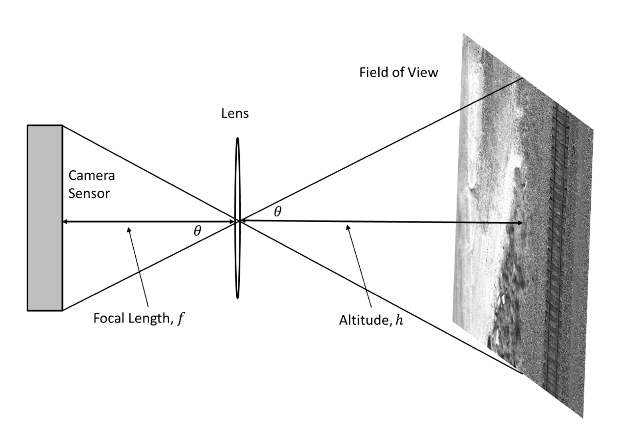
Geolocation is the estimation of the real-world geographic location of an object through different means. These means include GPS or relative position to known pre-located objects. Essentially, it is the answer to the question, ”where are you?”

While this may sound relatively straight forward, it can be very difficult under certain circumstances.

GSD and how to calculate it

August 26, 2020

GSD stands for Ground Sample Distance. It is, essentially, the size of a camera frame pixel in the real-world.

This is an essential element of performing UAS based inspections because it allows us to measure image frame objects in the real world. That is, the size of an object in an image can be measure by its width and height in pixels which can then be translated into a physical distance using the GSD.

Scroll to Top